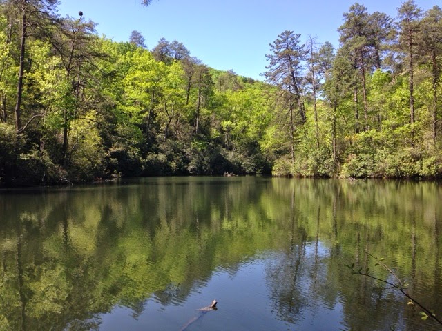
(Mountain Lake @ Paris Mountain State Park)
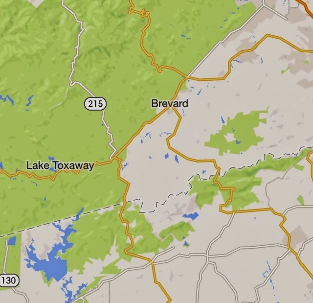
The SC Project is something that’s been rattling around in my mind and planning for a while. I live in Greenville County, South Carolina. The majority of my hiking has taken me through the mountains of the Upstate, past Table Rock, Cesaer’s Head, Jones Gap, Lake Keowee, Lake Jocasee, Paris Mountain, The Foothills Trail, and numerous preserves. These are all things I’ve driven past in order to get to my favorite hotspots like Linville Gorge and Panthertown Valley. In starting this project, I’ve pretty much just been telling people that I’m going to focus on exploring what’s in my own backyard.
This doesn’t mean I plan to abandon Linville Gorge, Panthertown, DuPont, the Blue Ridge Parkway, etc. What this really boils down to is contentment. What have I been given, and why am I not happy with it? I’ve made several comments about moving to Nebo, Morganton, Brevard, Asheville… Why would I not be happy with Greenville? What a silly thing. On top of all the great hiking destinations, we have the Swamp Rabbit Trail, which is a world class greenway that’s made a huge economic impact on the area, fantastic fishing (so I hear, even though I’m a below novice fisherman), and kayaking. The economy in Greenville is pretty good, combined with the plentiful outdoor opportunities, and it seems very silly that I would not be content with where God’s placed me and my family.
Will I be devoting a huge amount of energy to this and be all-consumed by it? I’m certain it will be a struggle just as it has been with all adventures, but this isn’t an addition to what I’ve already been doing. It’s a redirection. I’m hoping it will allow me to do the hard work in discovering new places, but also build relationships with people I actually llive near and am in local community with. This refocus will also be a better steward of my time, as it will allow for more time to be spent looking for waterfalls, hiking trails, seeing amazing things, than spent in the car for up to 6 hours a day (I’m talking to you, Table Rock Parking Lot at Linville Gorge). This can also afford short trips, that do not consume as much time, allowing me to spend more time with my family.
So, what IS The SC Project? It is one man’s attempt to explore, discover, and document South Carolina.
Hopefully I’ll see you on the trail someday soon.